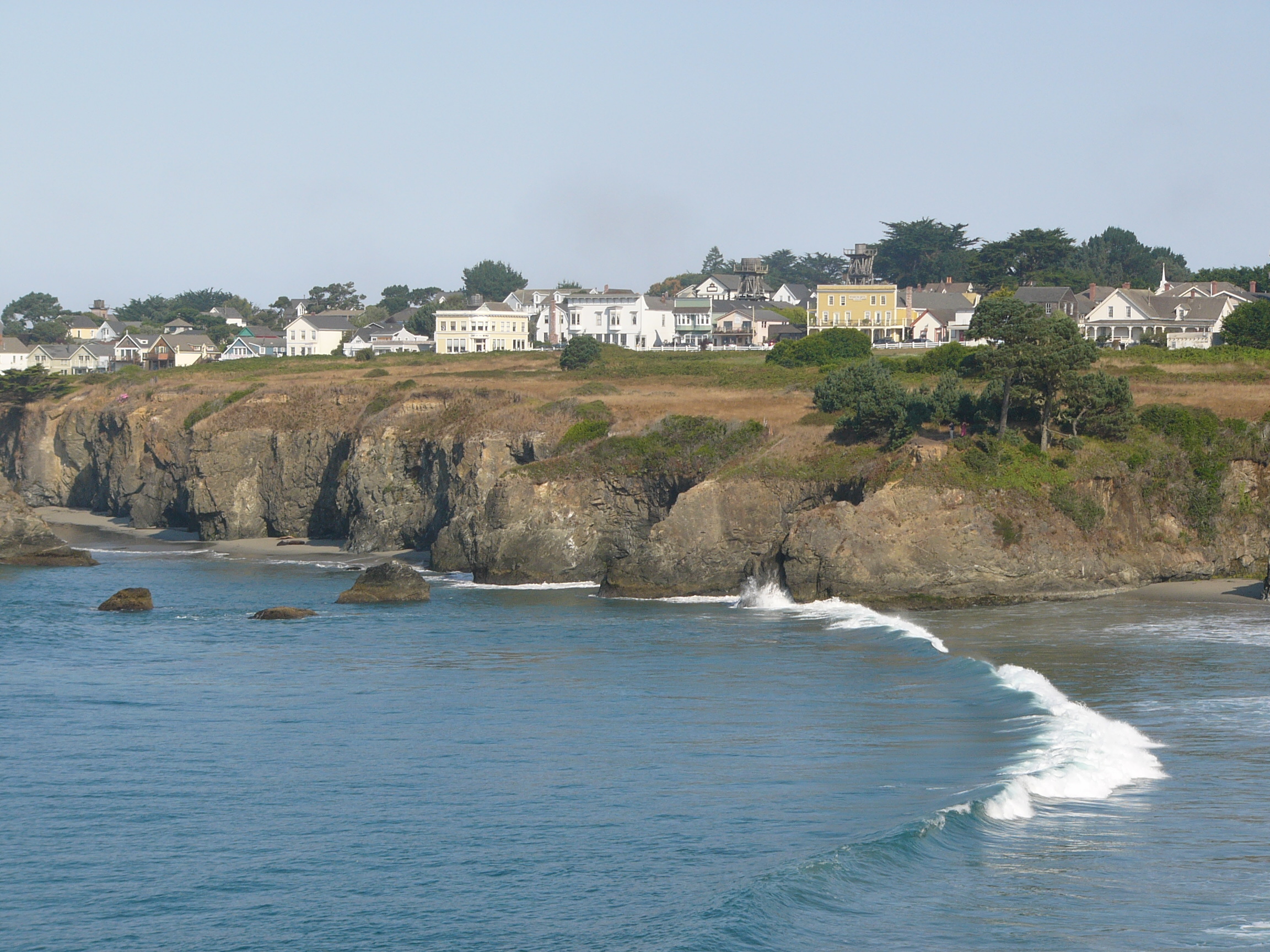
עובדות על Comptche
| אֵזוֹר | 1.2 mi² |
| מספר תושבים | 161 |
| אוכלוסייה גברית | 87 (54.3%) |
| אוכלוסייה נשית | 74 (45.7%) |
| שינוי אוכלוסייה (1975 to 2020) | +46.4% |
| שינוי אוכלוסייה (2000 to 2020) | +2.5% |
| גיל חציוני | 51.6 שנים (זכר: 47.7, נקבה: 55.9) |
| אזורי חיוג | 707 |
| זמן מקומי | |
| אזור זמן | שעון מערב ארה״ב (קיץ) |
| קווי אורך ורוחב | 39.26490, -123.59112 |
| מיקודים | 95427 |
מפת Comptche
מפה אינטראקטיבית
אוכלוסיית Comptche
השנים 1975 עד 2020
| Data | 1975 | 1990 | 2000 | 2015 | 2020 |
|---|---|---|---|---|---|
| מספר תושבים | 110 | 131 | 157 | 159 | 161 |
| צפיפות אוכלוסין | 93 / mi² | 110.8 / mi² | 132.8 / mi² | 134.5 / mi² | 136.2 / mi² |
מקורות: JRC (המרכז המחקרי המשותף של הנציבות האירופית) עבודה על GHS built-up grid
שינוי אוכלוסייה בComptche מ2000 עד 2015
עלייה של 1.3% מהשנה 2000 עד 2015
| מיקום | שינוי מאז 1975 | שינוי מאז 1990 | שינוי מאז 2000 |
|---|---|---|---|
| Comptche | +44.5% | +21.4% | +1.3% |
| קליפורניה | +51.8% | +28.5% | +13.9% |
| ארצות הברית | +46.9% | +27.2% | +13.7% |
מקורות: JRC (המרכז המחקרי המשותף של הנציבות האירופית) עבודה על GHS built-up grid
גיל חציון של Comptche
גיל חציון: 51.6 שנים
| מיקום | גיל חציוני | גיל חציוני (נקבה) | גיל חציוני (זכר) |
|---|---|---|---|
| Comptche | 51.6 yrs | 55.9 yrs | 47.7 yrs |
| קליפורניה | 35.3 yrs | 36.5 yrs | 34.2 yrs |
| ארצות הברית | 37.4 yrs | 38.7 yrs | 36.1 yrs |
מקורות: CIESIN (Center for International Earth Science Information Network)
צפיפות אוכלוסיית Comptche
צפיפות אוכלוסייה: 136 / mi²
| מיקום | מספר תושבים | אֵזוֹר | צפיפות |
|---|---|---|---|
| Comptche | 161 | 1.182 sq mi | 136 / mi² |
| קליפורניה | 38.8 million | 163,694.5 sq mi | 237 / mi² |
| ארצות הברית | 321.6 million | 3,796,740.8 sq mi | 84.7 / mi² |
מקורות: JRC (המרכז המחקרי המשותף של הנציבות האירופית) עבודה על GHS built-up grid
אוכלוסייה היסטורית וצפויה של Comptche
אוכלוסייה משוערת מ0 עד 2100
מקורות:
- JRC (המרכז המחקרי המשותף של הנציבות האירופית) עבודה על GHS built-up grid
- CIESIN (Center for International Earth Science Information Network)
- [קישור] Klein Goldewijk, K., Beusen, A., Doelman, J., and Stehfest, E.: Anthropogenic land use estimates for the Holocene – HYDE 3.2, Earth Syst. Sci. Data, 9, 927–953, https://doi.org/10.5194/essd-9-927-2017, 2017.
מדד התפתחות אנושית (HDI)
מדד מורכב סטטיסטי של תוחלת חיים, השכלה והכנסה לנפש.
מקור: [קישור] Kummu, M., Taka, M. &Guillaume, J. מערכי נתונים גלובליים על תוצר מקומי גולמי ומדד ההתפתחות האנושית 1990–2015. Sci Data 5, 180004 (2018) doi:10.1038/sdata.2018.4
פליטות CO2 של Comptche
פליטת פחמן דו חמצני (CO2) לנפש בטונות בשנה
| מיקום | פליטת CO2 | פליטת CO2 לנפש | עוצמת פליטות CO2 |
|---|---|---|---|
| Comptche | 2,275 tn | 14.13 tn | 1,923.7 tons/mi² |
| קליפורניה | 625,399,868 tn | 16.13 tn | 3,820.5 tons/mi² |
| ארצות הברית | 5,664,619,810 tn | 17.62 tn | 1,492 tons/mi² |
מקורות: [קישור] Moran, D., Kanemoto K; Jiborn, M., Wood, R., Többen, J., and Seto, K.C. (2018) טביעות פחמן של 13,000 ערים. Environmental Research Letters DOI: 10.1088/1748-9326/aac72a
פליטות CO2 של Comptche
| פליטות CO2 של 2013 (טון/שנה) | 2,275 tn |
| פליטות CO2 של 2013 (טון/שנה) לנפש | 14.13 tn |
| עוצמת פליטות CO2 של 2013 (טון/mi²/שנה) | 1,923.7 tons/mi² |
סכנות טבעיות
סיכון יחסי מתוך 10
| סכנה | רמת סיכון |
|---|---|
| בצורת | גבוה (9) |
| שיטפון | בינוני (7) |
| רעידת אדמה | גבוה (8) |
| מפולת אדמה | גבוה (8) |
* סיכון, במיוחד בגין שיטפונות או מפולות נפץ, עלול שלא להיות לכל האזור.
מקורות:
- Dilley, M., R.S. Chen, U. Deichmann, A.L. Lerner-Lam, M. Arnold, J. Agwe, P. Buys, O. Kjekstad, B. Lyon, and G. Yetman. 2005. Natural Disaster Hotspots: A Global Risk Analysis. Washington, D.C.: World Bank. https://doi.org/10.1596/0-8213-5930-4.
- Center for Hazards and Risk Research - CHRR - Columbia University, Center for International Earth Science Information Network - CIESIN - Columbia University, and Norwegian Geotechnical Institute - NGI. 2005. Global Landslide Hazard Distribution. Palisades, NY: NASA Socioeconomic Data and Applications Center (SEDAC). https://doi.org/10.7927/H4P848VZ.
- Center for Hazards and Risk Research - CHRR - Columbia University, Center for International Earth Science Information Network - CIESIN - Columbia University, and International Research Institute for Climate and Society - IRI - Columbia University. 2005. Global Drought Hazard Frequency and Distribution. Palisades, NY: NASA Socioeconomic Data and Applications Center (SEDAC). https://doi.org/10.7927/H4VX0DFT.
- Center for Hazards and Risk Research - CHRR - Columbia University, Center for International Earth Science Information Network - CIESIN - Columbia University. 2005. Global Flood Hazard Frequency and Distribution. Palisades, NY: NASA Socioeconomic Data and Applications Center (SEDAC). https://doi.org/10.7927/H4668B3D.
- Center for Hazards and Risk Research - CHRR - Columbia University, Center for International Earth Science Information Network - CIESIN - Columbia University. 2005. Global Earthquake Hazard Distribution - Peak Ground Acceleration. Palisades, NY: NASA Socioeconomic Data and Applications Center (SEDAC). https://doi.org/10.7927/H4BZ63ZS.
רעידות אדמה סמוכות אחרונות
גודל 3.0 ומעלה
| תאריך▼ | שעה↕ | Magnitude↕ | Distance↕ | עומק↕ | מיקום↕ | קישור |
|---|---|---|---|---|---|---|
| 4/29/19 | 7:16 AM | 4.32 | 32 km | 3,070 m | 10km NNW of Redwood Valley, CA | usgs.gov |
| 11/9/18 | 8:31 PM | 3.79 | 31.6 km | 5,550 m | 6km ENE of Willits, CA | usgs.gov |
| 6/8/18 | 5:23 PM | 3.72 | 30.9 km | 5,450 m | 3km WNW of Redwood Valley, CA | usgs.gov |
| 12/14/17 | 4:57 AM | 4.26 | 38.3 km | 7,040 m | 17km WSW of Laytonville, CA | usgs.gov |
| 10/13/17 | 11:10 PM | 3.94 | 30.9 km | 1,390 m | 3km NW of Redwood Valley, California | usgs.gov |
| 12/3/15 | 11:02 AM | 3.04 | 28 km | 6,050 m | 17km ENE of Fort Bragg, California | usgs.gov |
| 8/29/15 | 8:13 AM | 3.04 | 23.8 km | 5,386 m | 17km WNW of Brooktrails, California | usgs.gov |
| 8/29/15 | 8:13 AM | 3.56 | 24 km | 5,046 m | 18km ENE of Fort Bragg, California | usgs.gov |
| 7/27/15 | 6:24 PM | 3.45 | 39.3 km | 5,880 m | 6km E of Point Arena, California | usgs.gov |
| 10/4/14 | 3:45 PM | 3.93 | 10.7 km | 3,403 m | 15km SW of Willits, California | usgs.gov |

אודות הנתונים שלנו
הנתונים בדף זה מוערכים באמצעות מספר כלים ומשאבים זמינים לציבור. הם מסופקים ללא אחריות ועלולים להכיל אי-דיוקים. השימוש על אחריותך.