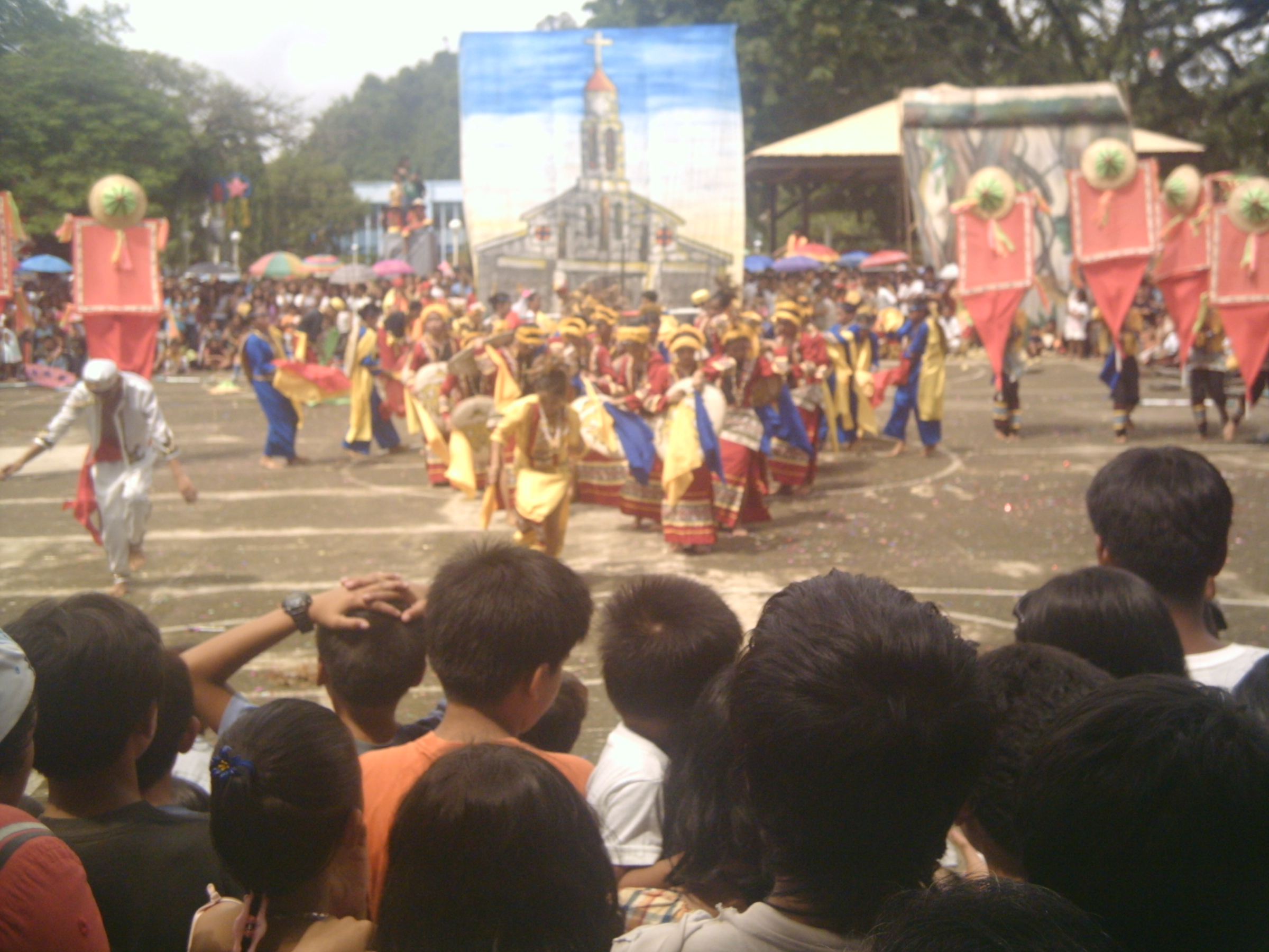
קטגוריות ב-Carrascal
תעשיות
התפלגות עסקים לפי תעשייה בCarrascal
| תיאור ענף | מספר מפעלים |
|---|---|
| השכלה | 21 |
| קניות | 15 |
| דת | 13 |
| מנהל ציבורי | 12 |
| מסעדות | 8 |
| חברות להלוואות | 8 |
| חנויות מצרכים וסופרמרקטים | 8 |
| כנסיות | 8 |
| בנקים | 6 |
| פיננסים אחר | 6 |
| נסיעות ותחבורה | 5 |
| אפשרות לינה אחרת | 5 |
| סיטונאות של חומרי בניה | 5 |
עובדות על Carrascal
| אֵזוֹר | 201.4 km² |
| מספר תושבים | 19,323 |
| אוכלוסייה גברית | 9,950 (51.5%) |
| אוכלוסייה נשית | 9,373 (48.5%) |
| שינוי אוכלוסייה (1975 to 2020) | +1828.4% |
| שינוי אוכלוסייה (2000 to 2020) | +129.1% |
| גיל חציוני | 23.4 שנים (זכר: 23.4, נקבה: 23.5) |
| שכונות | Baybay, Doyos |
| זמן מקומי | |
| אזור זמן | שעון הפיליפינים (חורף) |
| קווי אורך ורוחב | 9.37028, 125.94917 |
| מיקודים | 8318 |
מפת Carrascal
מפה אינטראקטיבית
אוכלוסיית Carrascal
השנים 1975 עד 2020
| Data | 1975 | 1990 | 2000 | 2015 | 2020 |
|---|---|---|---|---|---|
| מספר תושבים | 1,002 | 4,159 | 8,436 | 17,891 | 19,323 |
| צפיפות אוכלוסין | 5 / km² | 20.7 / km² | 41.9 / km² | 88.8 / km² | 96 / km² |
מקורות: JRC (המרכז המחקרי המשותף של הנציבות האירופית) עבודה על GHS built-up grid
שינוי אוכלוסייה בCarrascal מ2000 עד 2015
עלייה של 112.1% מהשנה 2000 עד 2015
| מיקום | שינוי מאז 1975 | שינוי מאז 1990 | שינוי מאז 2000 |
|---|---|---|---|
| Carrascal | +1685.5% | +330.2% | +112.1% |
| הפיליפינים | +146.5% | +63.3% | +29.5% |
מקורות: JRC (המרכז המחקרי המשותף של הנציבות האירופית) עבודה על GHS built-up grid
גיל חציון של Carrascal
גיל חציון: 23.4 שנים
| מיקום | גיל חציוני | גיל חציוני (נקבה) | גיל חציוני (זכר) |
|---|---|---|---|
| Carrascal | 23.4 yrs | 23.5 yrs | 23.4 yrs |
| הפיליפינים | 23.2 yrs | 23.6 yrs | 22.8 yrs |
מקורות: CIESIN (Center for International Earth Science Information Network)
צפיפות אוכלוסיית Carrascal
צפיפות אוכלוסייה: 96 / km²
| מיקום | מספר תושבים | אֵזוֹר | צפיפות |
|---|---|---|---|
| Carrascal | 19,323 | 201.4 km² | 96 / km² |
| הפיליפינים | 96.6 million | 296,939.4 km² | 325 / km² |
מקורות: JRC (המרכז המחקרי המשותף של הנציבות האירופית) עבודה על GHS built-up grid
אוכלוסייה היסטורית וצפויה של Carrascal
אוכלוסייה משוערת מ1930 עד 2100
מקורות:
- JRC (המרכז המחקרי המשותף של הנציבות האירופית) עבודה על GHS built-up grid
- CIESIN (Center for International Earth Science Information Network)
- [קישור] Klein Goldewijk, K., Beusen, A., Doelman, J., and Stehfest, E.: Anthropogenic land use estimates for the Holocene – HYDE 3.2, Earth Syst. Sci. Data, 9, 927–953, https://doi.org/10.5194/essd-9-927-2017, 2017.
אזורי חיוג
אחוז אזורי חיוג של עסקים בCarrascal
התפלגות מחירים
התפלגות עסקים לפי מחיר עבור Carrascal
מדד התפתחות אנושית (HDI)
מדד מורכב סטטיסטי של תוחלת חיים, השכלה והכנסה לנפש.
מקור: [קישור] Kummu, M., Taka, M. &Guillaume, J. מערכי נתונים גלובליים על תוצר מקומי גולמי ומדד ההתפתחות האנושית 1990–2015. Sci Data 5, 180004 (2018) doi:10.1038/sdata.2018.4
פליטות CO2 של Carrascal
פליטת פחמן דו חמצני (CO2) לנפש בטונות בשנה
| מיקום | פליטת CO2 | פליטת CO2 לנפש | עוצמת פליטות CO2 |
|---|---|---|---|
| Carrascal | 19,036 tn | 0.99 tn | 94.5 tons/km² |
| הפיליפינים | 104,920,564 tn | 1.09 tn | 353.3 tons/km² |
מקורות: [קישור] Moran, D., Kanemoto K; Jiborn, M., Wood, R., Többen, J., and Seto, K.C. (2018) טביעות פחמן של 13,000 ערים. Environmental Research Letters DOI: 10.1088/1748-9326/aac72a
פליטות CO2 של Carrascal
| פליטות CO2 של 2013 (טון/שנה) | 19,036 tn |
| פליטות CO2 של 2013 (טון/שנה) לנפש | 0.99 tn |
| עוצמת פליטות CO2 של 2013 (טון/km²/שנה) | 94.5 tons/km² |
סכנות טבעיות
סיכון יחסי מתוך 10
| סכנה | רמת סיכון |
|---|---|
| בצורת | בינוני (4) |
| שיטפון | גבוה (10) |
| רעידת אדמה | גבוה (8.4) |
| ציקלון | גבוה (10) |
| מפולת אדמה | גבוה (10) |
* סיכון, במיוחד בגין שיטפונות או מפולות נפץ, עלול שלא להיות לכל האזור.
מקורות:
- Dilley, M., R.S. Chen, U. Deichmann, A.L. Lerner-Lam, M. Arnold, J. Agwe, P. Buys, O. Kjekstad, B. Lyon, and G. Yetman. 2005. Natural Disaster Hotspots: A Global Risk Analysis. Washington, D.C.: World Bank. https://doi.org/10.1596/0-8213-5930-4.
- Center for Hazards and Risk Research - CHRR - Columbia University, Center for International Earth Science Information Network - CIESIN - Columbia University, and Norwegian Geotechnical Institute - NGI. 2005. Global Landslide Hazard Distribution. Palisades, NY: NASA Socioeconomic Data and Applications Center (SEDAC). https://doi.org/10.7927/H4P848VZ.
- Center for Hazards and Risk Research - CHRR - Columbia University, Center for International Earth Science Information Network - CIESIN - Columbia University, International Bank for Reconstruction and Development - The World Bank, and United Nations Environment Programme Global Resource Information Database Geneva - UNEP/GRID-Geneva. 2005. Global Cyclone Hazard Frequency and Distribution. Palisades, NY: NASA Socioeconomic Data and Applications Center (SEDAC). https://doi.org/10.7927/H4CZ353K.
- Center for Hazards and Risk Research - CHRR - Columbia University, Center for International Earth Science Information Network - CIESIN - Columbia University, and International Research Institute for Climate and Society - IRI - Columbia University. 2005. Global Drought Hazard Frequency and Distribution. Palisades, NY: NASA Socioeconomic Data and Applications Center (SEDAC). https://doi.org/10.7927/H4VX0DFT.
- Center for Hazards and Risk Research - CHRR - Columbia University, Center for International Earth Science Information Network - CIESIN - Columbia University. 2005. Global Flood Hazard Frequency and Distribution. Palisades, NY: NASA Socioeconomic Data and Applications Center (SEDAC). https://doi.org/10.7927/H4668B3D.
- Center for Hazards and Risk Research - CHRR - Columbia University, Center for International Earth Science Information Network - CIESIN - Columbia University. 2005. Global Earthquake Hazard Distribution - Peak Ground Acceleration. Palisades, NY: NASA Socioeconomic Data and Applications Center (SEDAC). https://doi.org/10.7927/H4BZ63ZS.
רעידות אדמה סמוכות אחרונות
גודל 3.0 ומעלה
| תאריך▼ | שעה↕ | Magnitude↕ | Distance↕ | עומק↕ | מיקום↕ | קישור |
|---|---|---|---|---|---|---|
| 8/11/19 | 4:52 AM | 4.6 | 10.3 km | 59,580 m | 6km E of Cantilan, Philippines | usgs.gov |
| 7/23/19 | 9:38 AM | 4.8 | 11.4 km | 54,800 m | 1km SW of Parang, Philippines | usgs.gov |
| 7/18/19 | 5:40 PM | 4.8 | 6.8 km | 35,000 m | 2km S of Panikian, Philippines | usgs.gov |
| 7/18/19 | 5:39 PM | 4.8 | 17.9 km | 18,360 m | 13km WSW of Adlay, Philippines | usgs.gov |
| 7/12/19 | 8:42 PM | 5.8 | 11.3 km | 12,850 m | 6km E of Cantilan, Philippines | usgs.gov |
| 6/25/19 | 11:30 PM | 4.5 | 9.3 km | 99,750 m | 4km SE of Cantilan, Philippines | usgs.gov |
| 5/20/19 | 9:14 PM | 4.3 | 15.9 km | 91,500 m | 6km N of Lanuza, Philippines | usgs.gov |
| 3/25/19 | 2:57 PM | 4.4 | 25.3 km | 65,790 m | 6km S of Lanuza, Philippines | usgs.gov |
| 2/16/19 | 5:08 AM | 4.4 | 19 km | 101,360 m | 11km NW of Cortes, Philippines | usgs.gov |
| 1/20/19 | 3:42 PM | 4.3 | 25.6 km | 110,550 m | 12km WSW of Socorro, Philippines | usgs.gov |
אודות הנתונים שלנו
הנתונים בדף זה מוערכים באמצעות מספר כלים ומשאבים זמינים לציבור. הם מסופקים ללא אחריות ועלולים להכיל אי-דיוקים. השימוש על אחריותך.